- Home
- Grassy Mountain Gold
Grassy Mountain Project
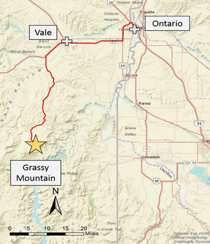
Vale, Oregon, USA
Overview
Paramount’s flagship asset, the Grassy Mountain Gold Project, is one of the most advanced undeveloped gold projects in the United States.
Located in the high desert region of Malheur County, Oregon, approximately 22 miles south of Vale, the Project sits on a wholly owned 8,200-acre land package with strong infrastructure and secure land tenure. Grassy Mountain is designed as a high-grade underground mining operation with a relatively small surface footprint and modern processing methods.
The Project has received federal approvals and is in the final stages of state permitting, positioning it to become Oregon’s first modern underground gold mine.
PROJECT HIGHLIGHTS:
Feasibility Study
In May 2026, Paramount completed a Feasibility Study update for Grassy Mountain reflecting current metal price assumptions, capital and operating cost estimates, and a revised mine plan.
The Study outlines a high-grade underground mining operation with an initial mine life of 9.3 years, average annual production of approximately 41,000 ounces of gold and 52,000 ounces of silver, and total recoverable gold ounces of 385,800, with an average recovery of 93%.
The economic analysis in the Study is based on assumed metal prices of $3,600 per ounce of gold and $48 per ounce of silver and demonstrates strong project economics, including an after-tax NPV of $375 million, an IRR of 39%, and a payback period of 2.2 years.
The Study also includes sensitivity analysis to higher commodity prices. Assuming metal prices of $4,618 per ounce of gold and $74 per ounce of silver, the Project's after-tax NPV increases to $609 million, with an IRR of 55% and a payback period of 1.4 years.
 Resources
Mineral Reserve and Mineral Resource Estimates
The 2026 Feasibility Study reflects a larger mineral inventory compared to the 2022 Feasibility Study, with gold reserves of 405,000 ounces, silver reserves of 625,000 ounces, and total gold mineral resources of 1.36 million ounces (inclusive of reserves).
Gold and Silver Mineral Reserve Estimates (Metric)
|
Tonnes (‘000s) |
Grade (g/tonne Au) |
Gold (‘000 oz) |
Grade (g/tonne Ag) |
Silver (‘000 oz) | |
|---|---|---|---|---|---|
| Proven mineral reserves | 271 | 5.72 | 50 | 8.77 | 77 |
| Probable mineral reserves | 1,731 | 6.38 | 355 | 9.85 | 548 |
| Total Proven and Probable reserves | 2,002 | 6.29 | 405 | 9.70 | 625 |
Gold and Silver Mineral Resource Estimates - Exclusive of Mineral Reserves (Metric)
|
Tonnes (‘000s) |
Grade (g/Tonne Au) |
Gold (‘000 oz) |
Grade (g/Tonne Ag) |
Silver (‘000 oz) | |
|---|---|---|---|---|---|
| Measured Mineral Resources | 30,572 | 0.50 | 490 | 2.10 | 2,065 |
| Indicated Mineral Resources | 19,856 | 0.72 | 462 | 2.78 | 1,777 |
| Measured + Indicated Mineral Resources | 50,428 | 0.59 | 952 | 2.37 | 3,842 |
| Inferred Mineral Resources | 3,428 | 0.65 | 73 | 1.92 | 210 |
NOTE:
Mineral Reserves have an effective date of May 15, 2026. Mineral Resources have an effective date of February 28, 2026. Refer to the 2026 Feasibility Study for complete assumptions and parameters used in reserve and resource calculations.
Federal (Approved)
State (Final Stage)
County (Approved)
Exploration Upside
Grassy Mountain is located within a large, underexplored land package with multiple targets that have the potential to extend mine life beyond the 9.3 year mine plan outlined in the 2026 updated Feasibility Study.
↵
Key targets include:
Underground development is expected to provide cost-effective access for drilling extensions to the existing orebody and nearby targets, supporting potential resource growth and mine life extension.
Geology & MINERALIZATION
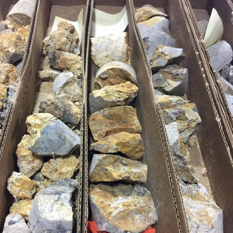
Grassy Mountain is a high-grade epithermal gold-silver system located within the Lake Owyhee volcanic field.
Mineralization is hosted in silicified volcanic and sedimentary rocks and is structurally controlled by faulting. Gold occurs primarily in quartz adularia veins and stockwork zones, with higher-grade mineralization concentrated at depth supporting both defined resources and potential for further extensions.